
Drone Roof Inspection in Roseville, CA
A drone image can show a broad roof layout in minutes.
It cannot confirm a hidden wet layer, test a seam bond, or tell whether a curb flashing is loose.
We use aerial imaging to map visible conditions and direct the next inspection step.
Roseville, CA has large employment and commercial areas, including a North Industrial planning area devoted primarily to industrial uses.
On a wide roof, a consistent image set helps locate drains, equipment, edges, and visible defects before a hands-on review.
We pair imagery with an inspection record so the property team knows what the camera showed and what still needs a person on the roof.
Image plan: know what the flight must capture
Before a flight, we confirm the property boundary, roof sections, access restrictions, nearby activity, and the questions the images should answer. The route is planned to cover each elevation and overlap enough to keep the roof map understandable. We capture broad context first, then closer views of visible concerns such as displaced edge material, debris, open flashing, or a change in ponding. A date and section label make later comparisons useful.
For a North Industrial Area building, the priority might be a large field with several rooftop units and access lanes. A retail property near Roseville Parkway may need a view that records storefront canopies, parapets, and tenant-facing entrances. These are different image plans because the roof layout and site constraints differ. The condition record ties images to a roof map and repair priorities instead of leaving the owner with an unlabeled gallery.
Flight access: protect the people below
Flight planning includes takeoff and landing positions, property access, pedestrian routes, vehicles, and sensitive activity. We coordinate with the site contact before arrival and keep the flight area clear. If a site cannot provide a safe operating space or conditions change, we pause or reschedule. The drone does not fly over active loading, public gatherings, or workers who are not part of the operation.
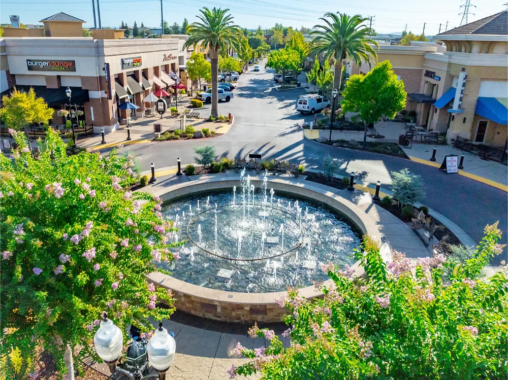
Roseville Parkway is a busy six-lane arterial connecting retail and dining destinations, offices, and neighborhoods. Properties along the corridor may have constant customer movement. The Roseville Parkway Corridor is a place where timing and launch position deserve attention, not an assumption. At industrial sites, truck access and rooftop obstructions may determine the flight window. We arrange the route around site rules and do not let image collection interrupt the facility's operation.
Visible surface: read what the image can support
High-resolution images can record surface wear, open or displaced materials, debris, exposed insulation, standing water, and the relationship between roof features. They can help compare a roof section before and after a repair. Light, shadow, water sheen, dirt, and surface color can also create misleading patterns. We interpret images alongside conditions on the day and identify observations that need a closer look before anyone prices a repair.
Heat and seasonal rain are relevant context for Roseville inspections. NOAA's nearby Sacramento Executive Airport normals show mean daily highs above 90 degrees in July and August, with about 14 days per year at or above 100 degrees. Those are regional climate records, not measurements at this roof. Heat-related surface changes may appear in the imagery, but an image cannot determine membrane bond or moisture below the surface. A heat and ultraviolet roof review can guide a hands-on check of seams, edge details, and exposed flashing.
Hands-on verification: check seams and penetrations
We follow aerial observations with direct inspection where the image indicates an issue. A person can test a seam, examine a curb, check fasteners, inspect a drain bowl, or take a moisture reading. The physical roof condition controls the repair recommendation. A dark mark in an image is not automatically a leak. Standing water in a shadowed area is not enough to define ponding depth or drainage performance.
If a closer check finds a split lap, we can document the repair boundary and identify a compatible method. If imagery shows debris near drainage, the follow-up can inspect the outlet and overflow path. For evidence of water below the membrane, we may need readings or a core sample. A moisture survey uses a different method and still requires verification. When the surface is safe to access, a hands-on roof inspection connects visible patterns with material condition.
Image deliverable: make it usable after the flight
A useful drone package includes dated images, roof-area labels, a map or marked overview, and notes about image limitations. We identify locations that were not visible because of shade, obstructions, height, or flight restrictions. If the owner needs a bid, images should point to a defined repair or testing question. A large number of photographs without labels does not help a facility team find the condition months later.
Flight scope and reporting affect cost. Roof size, height, obstructions, restricted access, required resolution, and the number of areas all change the work. If a hands-on visit, moisture readings, or core samples are included, those should appear as separate scope items. We review what the imagery can answer and what requires another method. For a planned repair, a repair scope should point to the same roof section and boundaries as the image notes.
Compare future flights: keep the record consistent
Repeated imagery is most useful when the flight path and section labels remain consistent. We can compare a repaired seam, drain area, or equipment zone with a prior set. The images may show a visible change but do not replace a maintenance check. The record should note whether rooftop trades have moved equipment, added conduit, or changed access since the last flight.
Roseville's industrial and commercial areas support different maintenance rhythms. A distribution roof with frequent service visits may need closer attention to walk paths and penetrations. An office roof with little traffic may benefit from a seasonal overview and targeted detail checks. We use the roof's condition and operating history to recommend a follow-up interval. A maintenance visit checks details that the camera cannot touch and keeps the image record connected to real repair work.
Next step: Schedule the right aerial review
Send a site plan or roof plan if one is available, identify the person who can approve access, and list the roof sections that matter. Note any security, tenant, flight, or loading restrictions. Tell us whether you need a general record, a pre-repair overview, a post-work comparison, or evidence about a suspected defect. The intended decision shapes the route and deliverable.
After the flight, we review the labeled images with you and call out the areas that need hands-on confirmation. We will not treat a camera view as proof of a hidden roof condition. You receive a clear record of visible observations, inaccessible areas, and next actions. Schedule a review for a Roseville commercial property, including a site in the North Industrial Area or the Roseville Parkway Corridor, and share the timing constraints for safe access.
Commercial Roofing Questions
Can a drone inspection tell us whether insulation is wet?
No. Aerial images show visible surfaces and roof layout. Moisture below the membrane requires an appropriate survey, readings, or a core sample. We identify image observations that justify that next step.
Will drone photos replace an annual roof inspection?
They can supplement an inspection by showing broad areas and helping track visible changes. A person still needs to check seams, flashing, drains, fasteners, and conditions that cannot be confirmed from above.
Can you fly above an occupied retail or industrial property?
We first review the site layout, access rules, pedestrian and vehicle movement, and safe launch area. We schedule around operations and pause if the flight area cannot be kept safe. Site approval is part of the plan.
What should we receive after the flight?
You receive dated, labeled images and a roof overview connected to visible observations and next inspection steps. We note restricted or obscured areas so the property team can see what was not captured.
Can you use images to compare a completed roof repair?
Yes, images can document broad visible changes before and after work. We pair them with close views and a hands-on check when the repair detail requires touch or seam testing.
Related Roofing Pages
Other pages that cover related roofing work.
Plan a drone roof inspection
Share the roof plan, the areas of concern, and site access or flight restrictions. We will map visible conditions and identify where hands-on verification is needed. 555-555-5555
Drone Roof Inspection in Roseville, CA FAQs
Common questions about this topic for Roseville commercial buildings.
Can a drone inspection tell us whether insulation is wet?
No. Aerial images show visible surfaces and roof layout. Moisture below the membrane requires an appropriate survey, readings, or a core sample. We identify image observations that justify that next step.
Will drone photos replace an annual roof inspection?
They can supplement an inspection by showing broad areas and helping track visible changes. A person still needs to check seams, flashing, drains, fasteners, and conditions that cannot be confirmed from above.
Can you fly above an occupied retail or industrial property?
We first review the site layout, access rules, pedestrian and vehicle movement, and safe launch area. We schedule around operations and pause if the flight area cannot be kept safe. Site approval is part of the plan.
What should we receive after the flight?
You receive dated, labeled images and a roof overview connected to visible observations and next inspection steps. We note restricted or obscured areas so the property team can see what was not captured.
Can you use images to compare a completed roof repair?
Yes, images can document broad visible changes before and after work. We pair them with close views and a hands-on check when the repair detail requires touch or seam testing.